Flight-Planning Data
|
Model Results and Trajectories |
In-Situ Data |
Satellite |
|
GOES Animations* |
GOES |
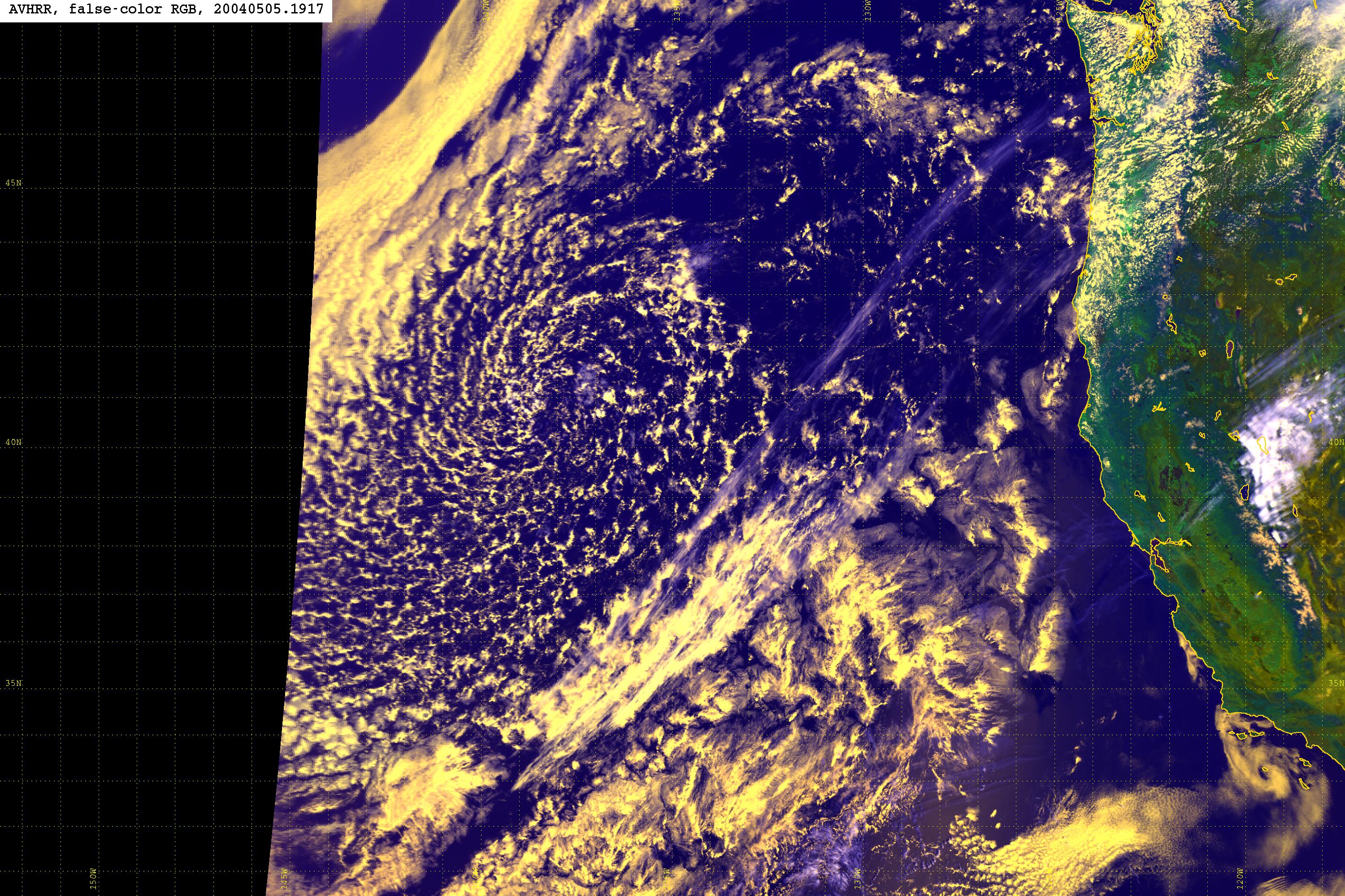
AVHRR |
Weather Data |
*note: the file size for
animations can be quite large
|
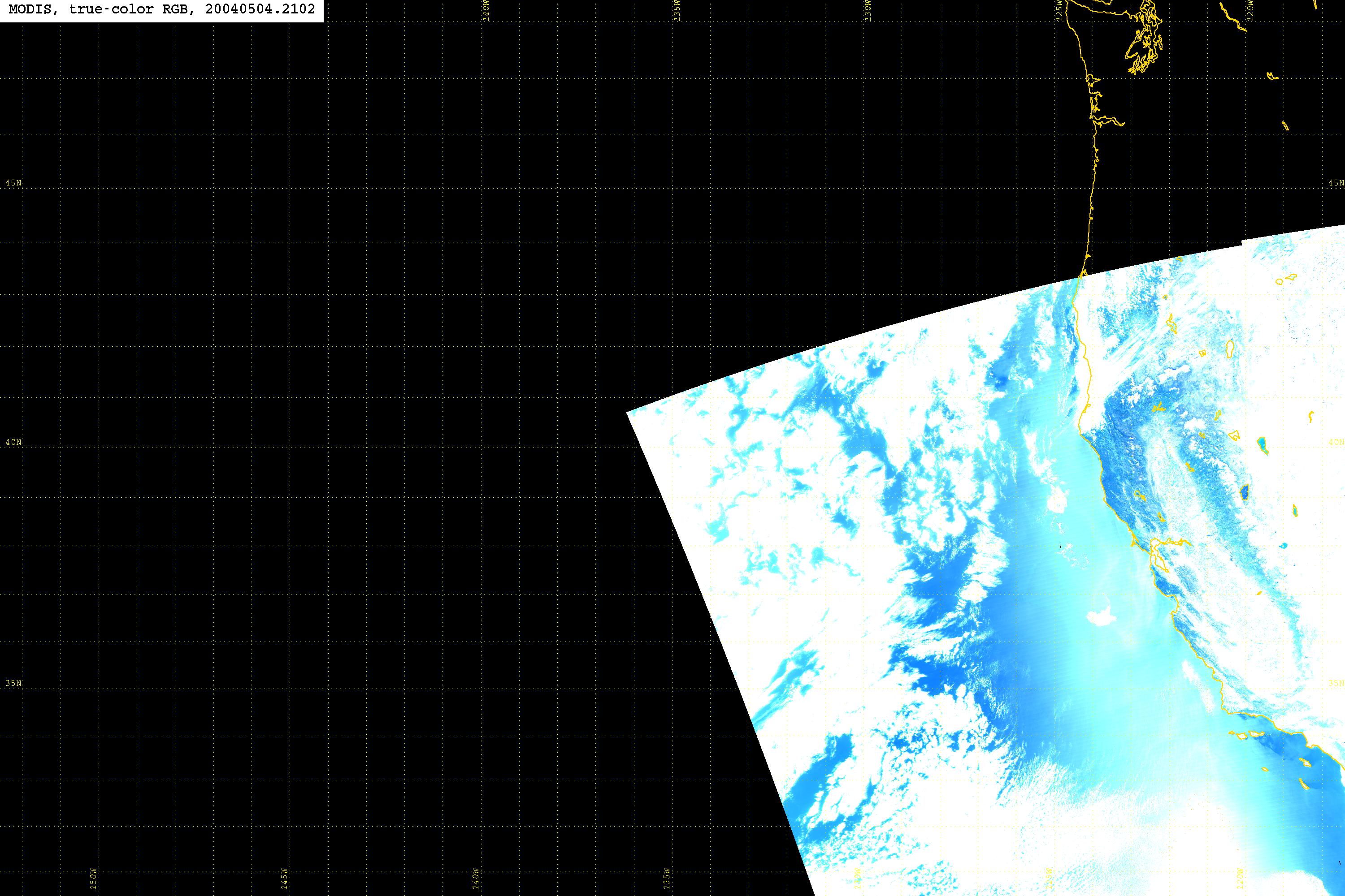
MODIS data |
SeaWifs data |
MOPITT |
|
SeaWifs
– latest East Pacific Image SeaWifs
– latest West Pacific Image |
**BTD
= Brightness Temperature Difference – see Refs below (Perez 2000)
MODIS
Aerosol Optical Depth - Current April 2004 Average
References:
North
Pacific AOD - averaged over MarAprMay 1981-2001
National Weather
Service - Eureka
SeaWifs –
East Pacific Imagery
MODIS Cloud Retrievals for April 2001 and 2003
MODIS Aerosol Retrievals for April
2000 through 2003
Perez
2000: Justification for the 11-4 micron BTD plots
Microtops
Sunphotometer Manual