CIFEX Experiment # 4
April 5, 2004.
Flight Scientist: Eric Wilcox.
Flight #5: Take off about 9 am. Lasted about 3 hours
Flight#6: Take off about 3 pm. Lasted about 3 hours
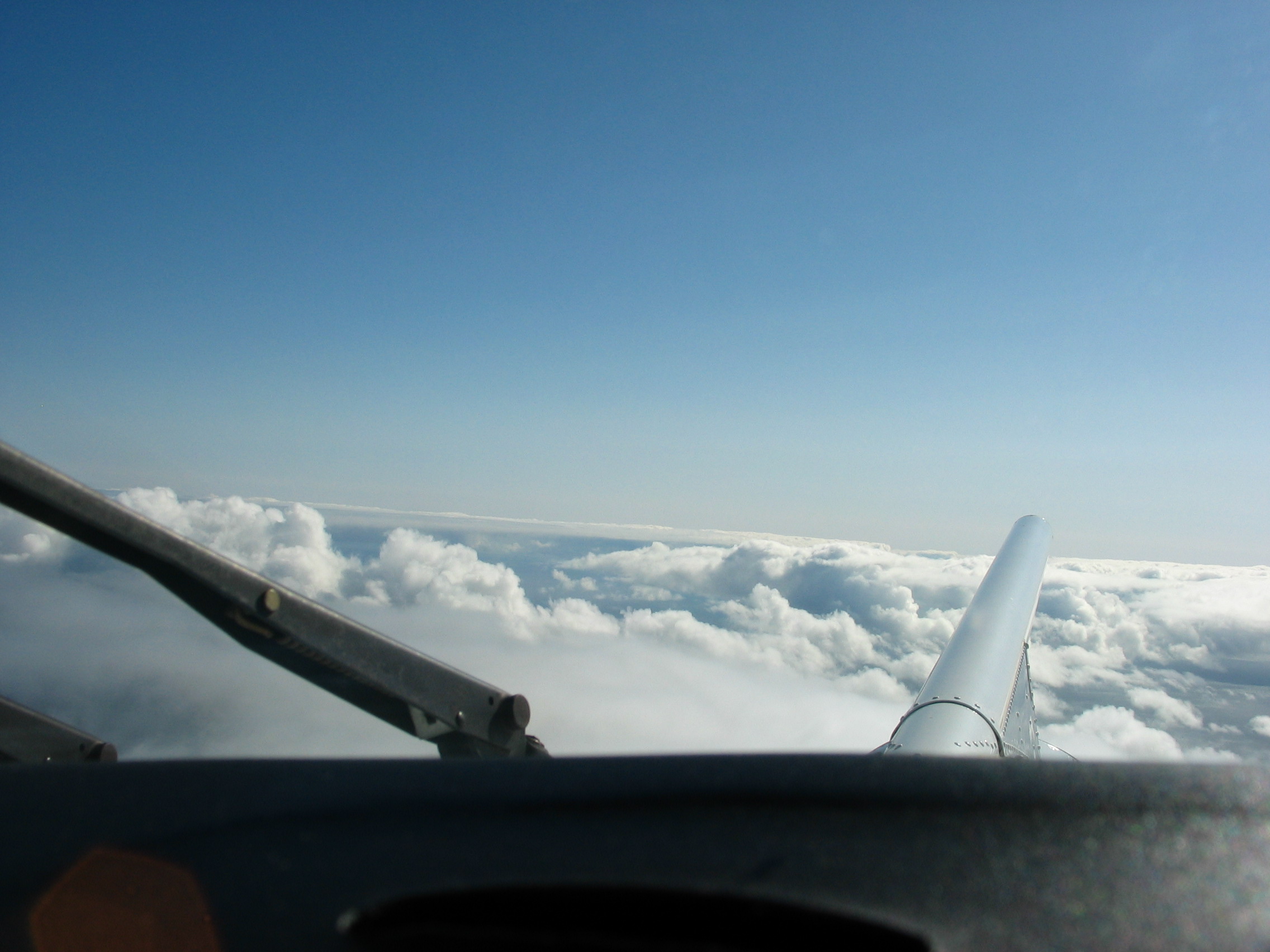
Significant clouds returned to the experiment area during the non-flight day on April 4. By the evening of April 4 drizzle was falling at the coast. Overnight a substantial stratus deck formed offshore throughout the experiment area. The morning flight departed April 5 at 9:00am, heading southwest to approximately 40N, 127.5W. We observed a coastal stratus deck from shore to approximately 30nm offshore. Beyond 30nm a separate deck of stratus had formed from 4200-5000ft which was fed by cumulus clouds beginning at 1500ft (see photo of mixed cumulus and stratus). By 9:00am the cumulus clouds were weakening, therefore cumulus cloud tops varied from 2000-5000ft and the offshore stratus was breaking up. Cumulus clouds were sampled at about 2000-2500ft. Cumulus and the overlaying stratus were sampled at 4500ft. Drizzle was sampled frequently while penetrating the cumulus clouds and observed visually falling from many adjacent clouds. Drizzle was sampled at 1000ft at least once while attempting to sample the aerosol below cloud base. Offshore, the particle concentrations below cloud base were low (CN=150-180/cc, PCASP=35-40/cc at 1000ft). A spiral profile at the western-most end of the flight revealed a narrow layer of pollution at 8000ft (CN=450/cc, PCASP=100/cc), a broad layer of pollution between 9200-11,200ft (CN=700-1000/cc, PCASP=50-100/cc), and an elevated layer of dark particles clearly visible to the eye between 12,300-13,400ft (CN=2000-10,000/cc, PCASP=50-200/cc). Particle concentrations remained high up to 15,000ft (the top of the profile) CN=500-1500/cc. Cumulus and stratus clouds were sampled on the return leg, though they had visibly thinned from the start of the flight. The thickest cloud layer identified during the return leg was the coastal stratus deck, This deck was sampled at 4600ft on several east-to-west and west-to-east tracks of 10nm length at the end of the flight.